I decided to load up the Trucker and head out for a night of camping at Cronan Ranch. Cronan Ranch is a day use park located about 2mi. east of Pilot Hill, CA and is situated between Hwy 49 and the South Fork American River. I departed at half past noon, just as the overcast was burning off and the temperature rising. I didn't want to arrive at my destination too early, so I set out at an easy pace. The first 12.5mi. of this trip takes me to Beals Point on the western shore of Folsom Lake and is well known to me as, I train on it round trip nearly every day.


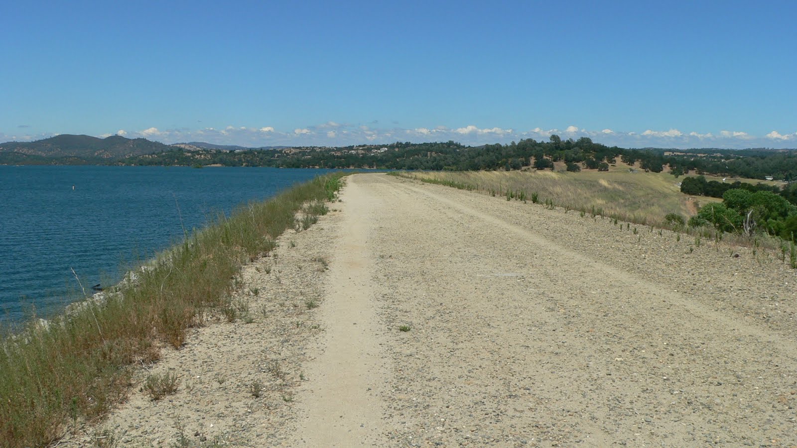
After a short rest at Beals Point I was back on my journey taking the American River Bike Trail which goes south along the western shore of the lake then turns east to follow the southern shore. At this point the trail follows Folsom Crossing Rd. and overlooks Folsom Dam. The trail eventually dumps you off onto a sidewalk on E. Natoma St. from there it was a short little jaunt to Folsom Point State Park on the South Shore. I rode through the park and found the levee road I had researched to avoid the high traffic surface streets.

My research paid off and the shortcut lead me to Green Valley Rd. heading east. After about 2mi. I turned north on Salmon Falls Rd. At this point the difficulty of the ride began to increase as I ascended the hills east of the lake toward Pilot Hill. So difficult that after awhile I was reduced to riding from one shady spot on the side of the road to the next one, sometimes only about a minute or two of pedaling between rests.
Eventually I had to stop to take a more lengthy rest. I spotted a nice old oak off to the side of the road. Upon further inspection I saw the grass was flattened by the deer that obviously rest there. I figured if it was good enough for the deer it was good enough for me. I laid out my sleeping mat and ate, hydrated, and rested for awhile. The spot was visible from the road and a few travelers in cars paused to ask if everything was OK.
I continued on knowing that the peak was not much further, but it was with great difficulty that I finally reached it. Now I was looking at about a 6mi. descent. I whizzed down the hill reaching a top speed of 38.8mph, without turning the cranks (my all time high on this bike is 43.2mph unloaded). It was so thrilling I nearly missed my turn off onto Pedro Hill Rd. As my descent continued east down Pedro Hill the wind in my face was forcing the tears out of my eyes, but I have to admit some were tears of joy.
Needing to resupply my water reserves, I spotted a CDF fire station and pulled off to ask for water. I found the men around back doing some laundry. Not only did they give me fresh water but also ice from their ice machine. Thanks guys, that ice was an unexpected treat.
I finally reached my destination of Cronan Ranch at about 4:30pm and promptly laid out my sleeping pad and ate dinner and rested. There is no camping allowed on this site but being a member of the Sacramento Valley Astronomical Society gives me night use privileges for astronomical purposes. Unfortunately this applies to the gravel parking area and immediate surroundings and is not my idea of a camping spot. I awaited dusk, and when most visitors had left the park, I proceeded to walk my rig up a dirt trail that wound it's way up a high tree covered ridge. About 3/4 the way up I searched out and found a nice little spot just as it was getting dark. As I surveyed the area for the most level spot to pitch my tent, I discovered what appeared to me to be a large pile of bear poop!

I poked at it with a stick and found it to be hard as a rock. I thought "petrified bear poop?" I turned it over with the stick and ants came pouring out from underneath. Ah, but something else was under there.


It was a fake cement poop that hid a Hershey's kisses tin with a number of small plastic trinkets and fake coins inside. Also inside was a Ziploc bag which contained a small note pad and pencil along with a note that explained everything. What I had stumbled upon was a sort of GPS game where somebody places a hidden cache and posts the GPS coordinates on a website called geocaching.com. Then others use those coordinates to try and find it. When you find a cache you may take an item if you like but you must leave one to replace it. You also sign the little log book and then replace everything and leave the cache as you found it. Then you report the find to the website. I signed and dated the log, wrote a little note, then replaced everything as I had found it.
In the morning I awakened to a beautiful day and took a couple of snapshots of my campsite before packing up and heading back home by the same route.


The trip home started with a brutal 6mi. climb back up the hill I had descended the day before. Along the way up I stopped to rest and snack in the shade when I notice blackberry vines with about a 1/3 of the berries ripe. Ah, the energy I needed to complete the climb. I picked two hand fulls and chowed them down while thanking God for providing such a wonderful treat to any of the creatures of the earth who may be passing this way. The rest of the trip was fairly easy. I stopped at both Folsom Point and Beals Point to rest and eat. I arrived home at 2:30pm after a total of 76.6mi. in 27 hours.
In summary I would have to say that it was one of the best and one of the worst times of my life.
awesome to get to come accross the "bear poop"! how fun!!!
ReplyDelete